
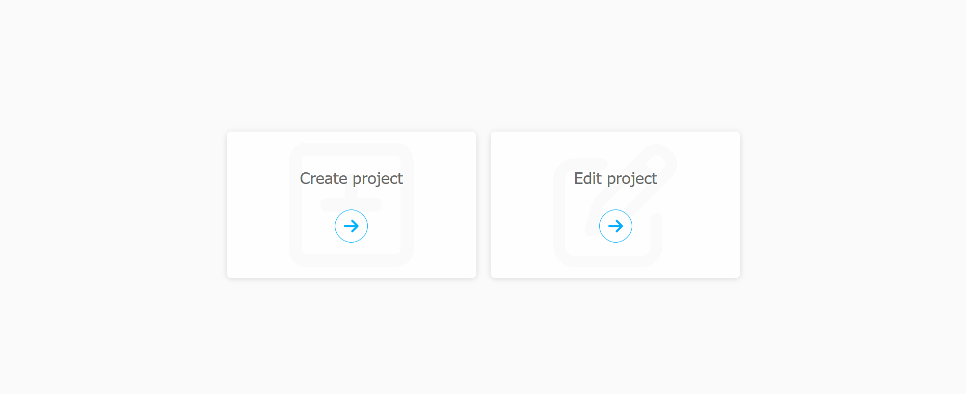
Position floor plans in seconds
Easy
A clean drag and drop interface - no GIS skills required
Accurate
Precise coordinates for real-world use cases
Smart Scan
From upload to download in a few clicks
How it works
1. Upload
Create a new project and upload your PDF or PNG floor plans via drag and drop.
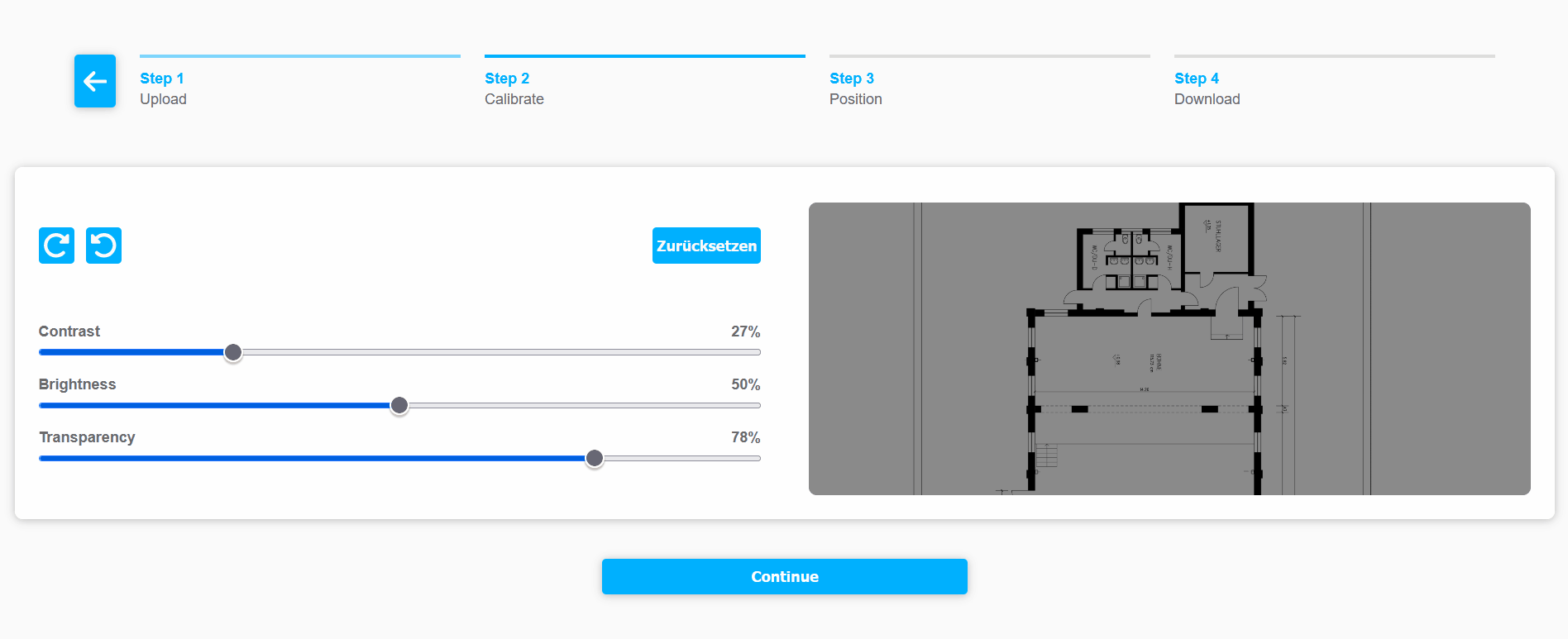
2. Adjust
Edit your floor plan by keeping only what you need - adjust contrast, brightness, and transparency for optimal clarity.
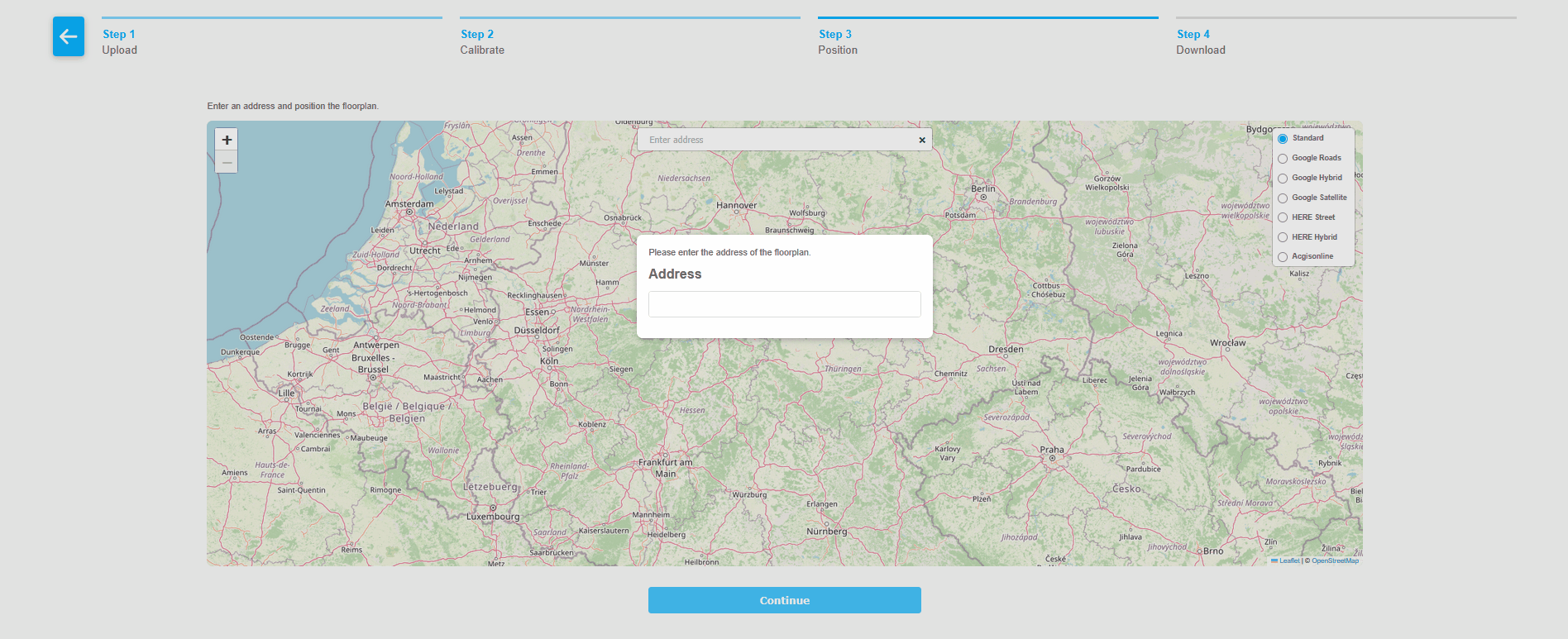
3. Place on map
Place your floor plans on a map to visualize and geolocate your buildings.
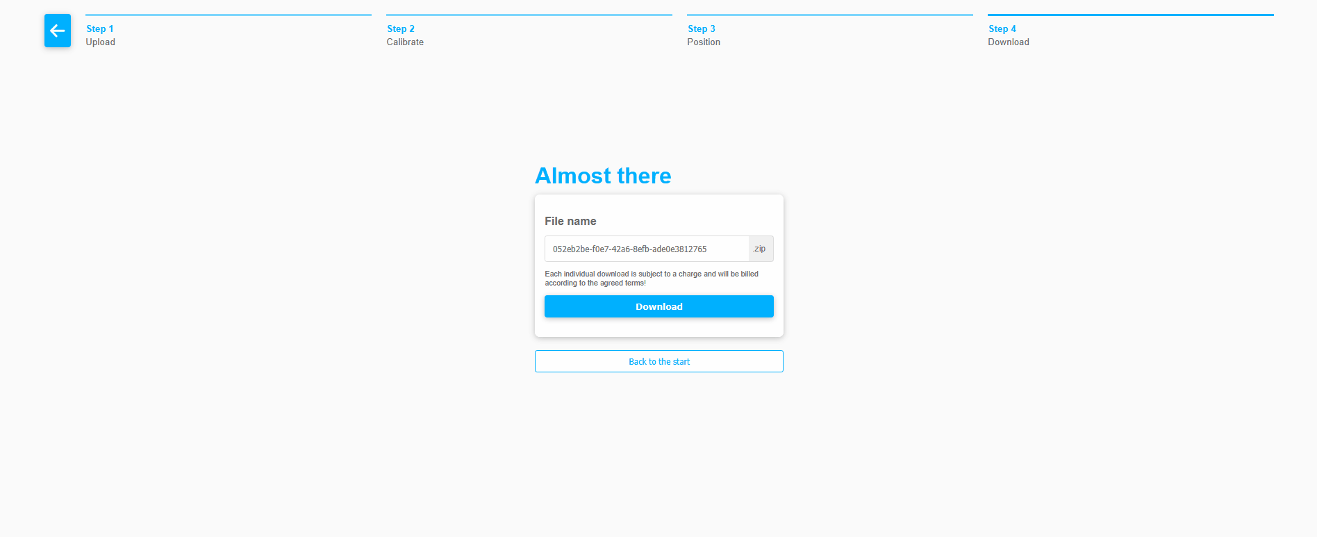
4. Download
Download geolocation data with a unique project ID - ready for seamless integration into tools like Wirepas. Reduce manual effort by up to 60%.
Open Web Version
Zero fixed fees - you only pay for each plan you geolocate.
Scale up or down as your workload changes.


Dedicated SaaS Instance
Higher throughput, lower prices? Get your own Instance!
Private Cloud, Domain based access and re exports whenever needed - all under a predictable monthly rate with custom SLAs.
Check our pricing
Premium
10 € / Download.
- Your own Instance
- Domain based Access
- Unlimited Support
- Re-open old projects

Contact us
You can contact us via the contact options listed below or alternatively send us a message using the form on the right.
Address: Edmund-Rumpler-Straße 6a, D-51149 Köln
Tel.: +49 2203 20216 - 11
Email floorplan@incs.org